
Is drought easing in Kansas? Area weather officials are skeptical
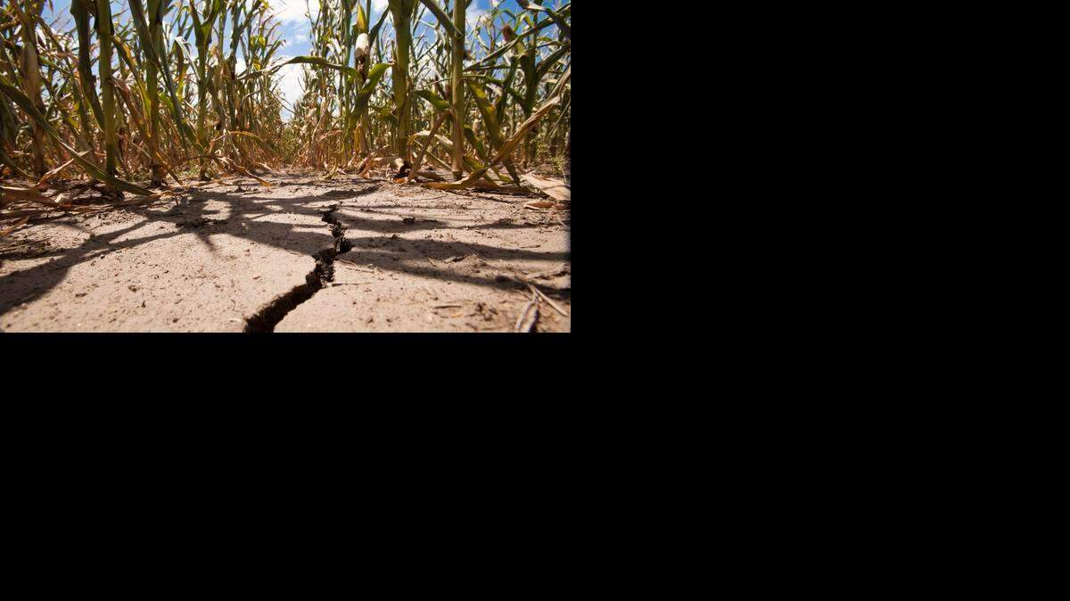
Projections that the drought should end for much of Kansas this spring and early summer are drawing skeptical responses from area weather officials.
The drought outlook released last week by the National Oceanic and Atmospheric Administration’s Climate Prediction Center indicates drought conditions in the Wichita area and central Kansas will disappear by the end of June and ease significantly in most of the rest of far western Kansas.
“I don’t know what they’re banking on,” said Janet Salazar, hydrologist for the Wichita branch of the National Weather Service. “Typically, we do get more of our rainfall in April and May. I’m not sure if they’re keying on that.”
The prevailing weather patterns over the past several weeks haven’t brought much precipitation to south-central Kansas. Wichita is nearly 2 inches below normal for precipitation so far this year, even with above-average snowfall.
Wichita has received just .22 of an inch of precipitation this month, nearly 1.5 inches below normal for this deep into March.
“I’m not seeing things improve right now,” Salazar said.
More and more rivers in the region are running at lower than normal levels for this time of year, she said. Shallow ponds are dry elsewhere in the state, too.
An “extraordinarily persistent” zone of low pressure has lingered over Hudson’s Bay since Christmas, AccuWeather vice president Mike Smith said.
“That is why the East has been so cold and stormy,” he said in an e-mail response to questions. “It is still there.
“I am skeptical of above normal precipitation (in the Great Plains) until it dissipates.”
But Larry Ruthi, meteorologist in charge of the Dodge City branch of the weather service, cited “reasons for optimism” that the drought will ease in western Kansas and disappear in central Kansas.
“I am reluctant to declare that the drought outlook is wrong,” Ruthi said in an e-mail.
He reviewed recent years featuring weather patterns similar to those active now — including a weak El Nino — and found they did not translate into below-average rainfall in Kansas. In fact, he said, the two years that had similar large-scale atmospheric patterns — 1977 and 2004 — had above-average rainfall.
Jeff Hutton, warning coordination meteorologist for the Dodge City branch, said he is drawing optimism not from the El Nino but from jet stream flows that are bringing precipitation to west Texas. Historically, that same flow brings moisture to western Kansas.
Indeed, parts of southwest Kansas received nearly an inch of rain last week — “a good soaker,” Hutton said.
“If this pattern continues, then I can see where this map is probably pretty close for at least western Kansas,” he said.
If the high-pressure ridge that commonly marks the summer months sets up more in the western U.S., Ruthi said, it could set up a “northwest flow” pattern similar to what brought Kansas a cool, wet summer a couple of years ago.
Storm systems slide down the eastern side of the high pressure ridge from the Pacific Northwest and tap into moisture that has moved north from the Gulf of Mexico.
Such a pattern typically yields night-time showers and thunderstorms around Kansas, Ruthi said.
“I expect that most locations will have near to maybe above climatological rainfall,” he said.
Eliminating the drought in southwest Kansas won’t happen, Hutton said. The long-term precipitation deficit is so substantial it will take multiple periods of well-above-average moisture to erase it.
But it doesn’t mean farmers in the region will suffer this year, Hutton said.
“Even though our long-term deficits are so large, even if we had this periodic precipitation you can get a crop out of it,” he said.
Reach Stan Finger at 316-268-6437 or sfinger@wichitaeagle.com. Follow him on Twitter: @StanFinger.
This story was originally published March 22, 2015 at 11:34 AM with the headline "Is drought easing in Kansas? Area weather officials are skeptical."